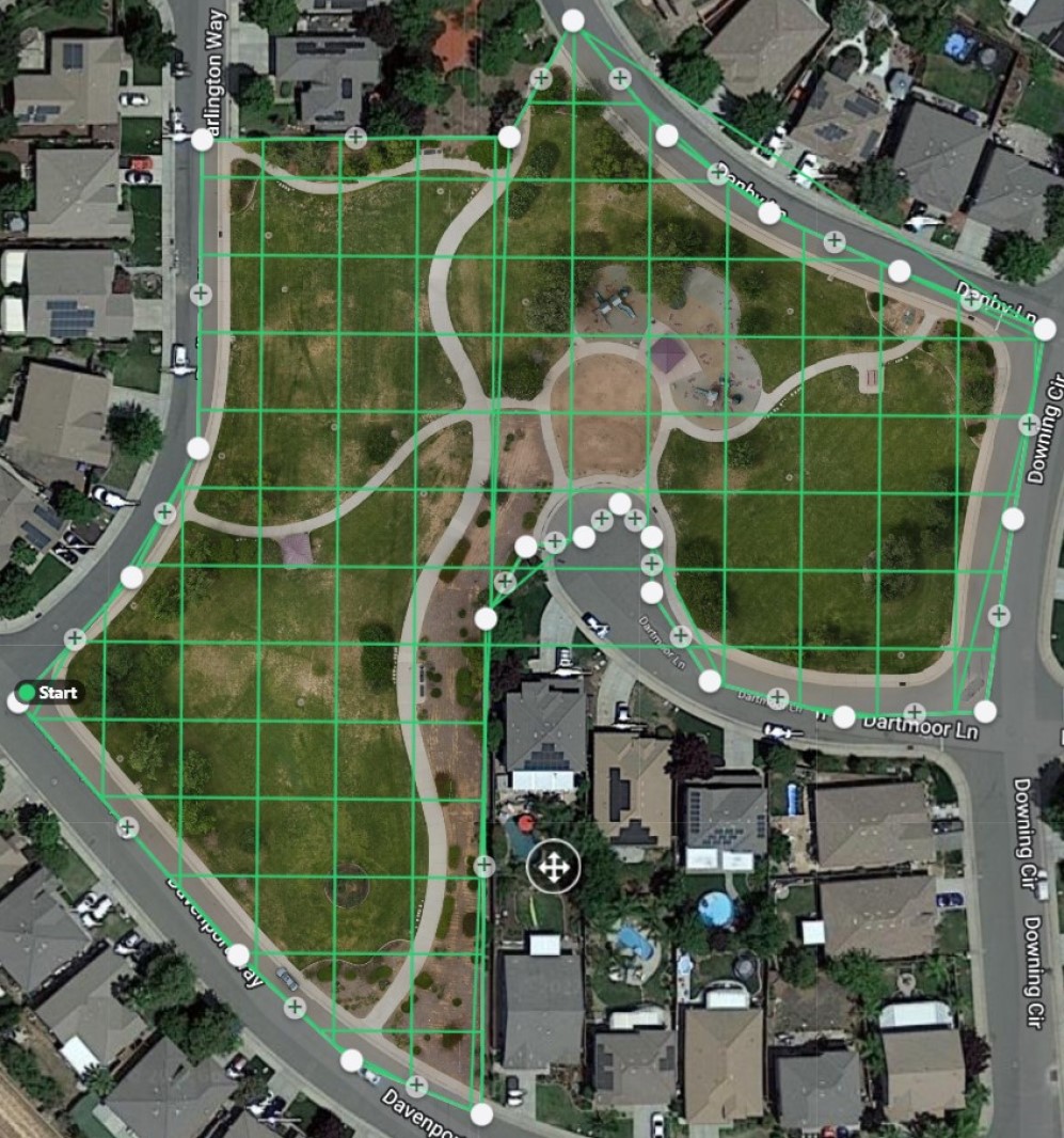
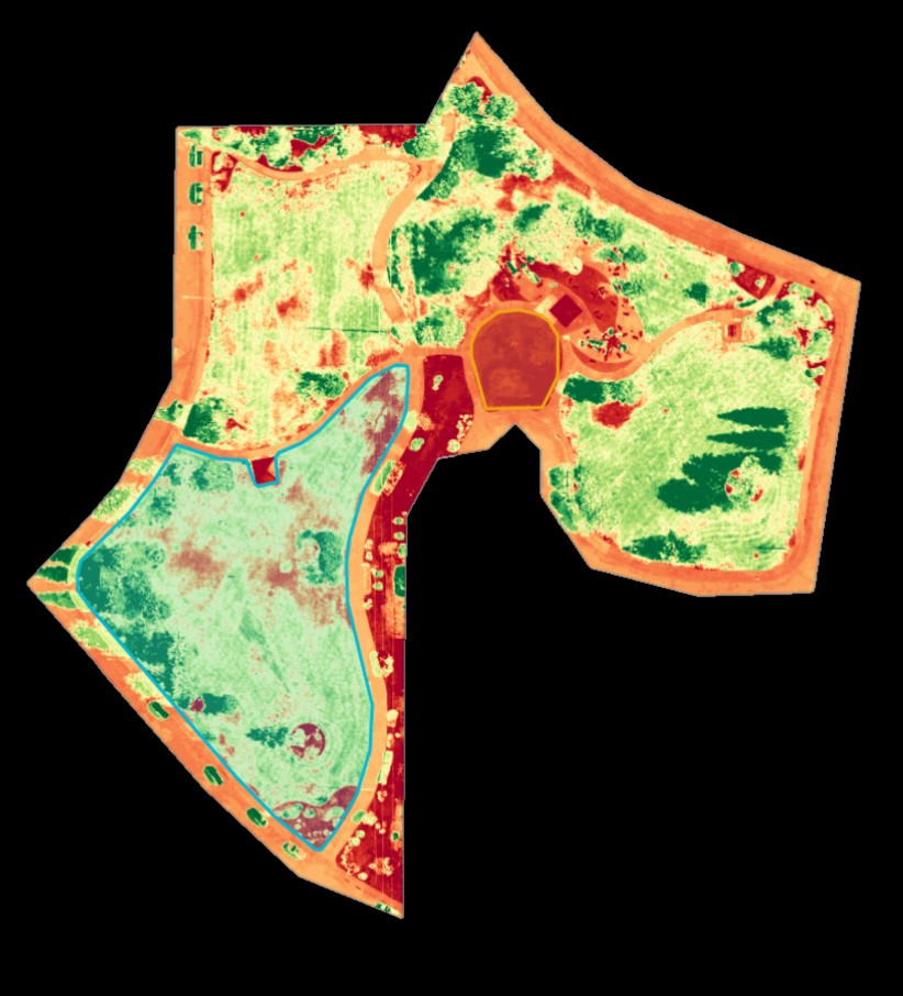
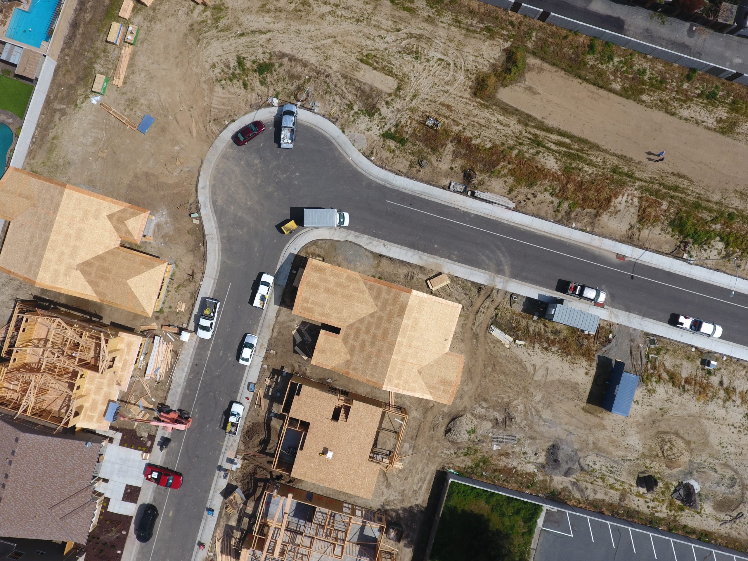
Gain insight on your property through 2D orthomosaic maps. These maps will give you with up to date high-quality imagery in greater definition than Google Earth. Additionally, our drone sensors can provide you with RGB plant heath.
Mitigate the high costs, employee risk, and time it takes to conduct traditional inspections. Our experienced team and pilots will advance the efficiency and quality of data acquisition all while boosting the safety and speed of delivery.
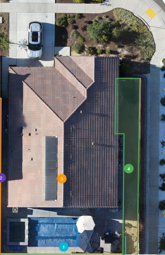
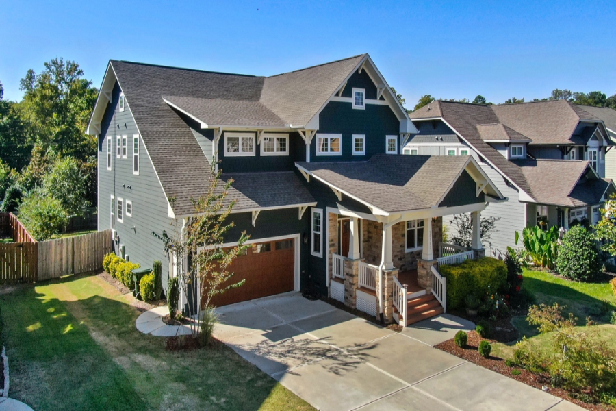
Stand out from the rest with by working with our team to provide you custom high-resolutions aerial photos and videos to give your listing a unique prospective for your buyers and sellers.
There are many advantages from employing drone solutions and our team is not limited to the services listed. If you have a unique mission requirement that is not already listed, please let us know.